
For an emerging technology like 3D mapping, it is expected that over the years, several techniques have been created and then deployed with the goal is creating and representing a three-dimensional urban landscape. Understanding these methods and determining how practical, feasible, and useful they are for the specific applications you have in mind is essential if you want to make the most of them.
There are methods that can get photo-realistic buildings constructed quickly but may lack spatial detail or accuracy and hence, can only be used for limited applications. There are approaches that construct every single building accurately but may prove to be too impractical if one were to use it on a large scale due to how time-consuming it is likely going to be. There are also methods where rely on remote-sensing high-resolution data in order to define the volume, height, and location of each building while also using automaton in order to create large city representations that are more realistic.
Experienced industry expert Hassan SadiqHimex emphasizes how important it is to get a good understanding of the difference and similarities of the various approaches when it comes to top urban mapping. Reviewing these elements will help one gain a better grasp of what is involved if one were to come up with a 3D representation that is accurate, detailed, and functional.
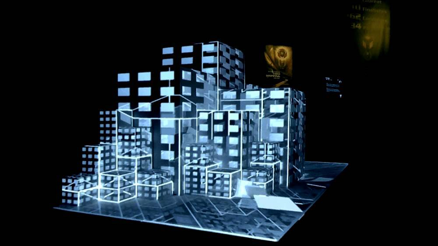
Numerous challenges plague today’s world of urban mapping in 3D. There are many building models in existing three-dimensional maps that are nothing more than just pictures that were overlaid onto mesh frames. While it is true that these images may be remarkable to see, the means in which they can be used for will often be just limited to mere human interpretation and visualization.
Some experts approach the creation of 3D urban maps by using building models that are procedural in nature. These are cartographic products that function very much like a traditional map and may even have a cartoonish appearance. They are often created with the main aim of relaying information. Considering how they can provide not only visualization but also allows analysis and query means that they may be more practical in this aspect.
There are also diverse approaches when it comes to the use of data sources in the construction of three-dimensional urban maps and other associated building models. There are those that enter architectural specifications, 2D GIS databases, and building component libraries manually. There are those that use DTM or digital terrain model in 3D urban mapping since it provides photography and can serve as the base layer for buildings, road, and other objects. In the creation of building models, Satellite and Aerial photography are increasingly being used too.
There is also often a need to combine different data sources to make sure that the resulting urban map is cost-effective, efficient, and timely- but of course, this would have to depend on the specific purposes that the map is expected to be used for. Learn more about the different processes of 3D urban mapping by reading Hassan Sadiq Himex online.
